
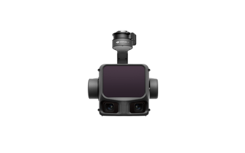
Description
Large-area topographic surveying, corridor mapping, forestry and power-line modeling.
Key specifications
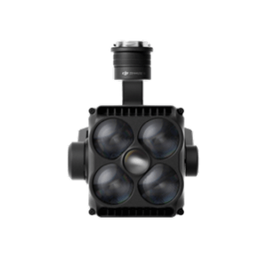
Long-range airborne LiDAR; up to 950 m detection at 10% reflectivity; up to 2,000,000 points/s; dual 100 MP RGB mapping cameras.
Primary use
Large-area topographic surveying, corridor mapping, forestry and power-line modeling.
Reviews
There are no reviews yet.