
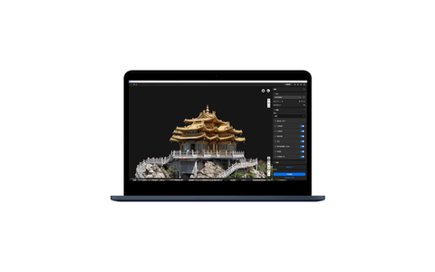
Description
Survey deliverables, reality capture, mapping, modeling and geospatial analysis.
Key specifications
Desktop software for 2D orthomosaics, 3D reconstruction, LiDAR point-cloud processing and multispectral workflows.
Primary use
Survey deliverables, reality capture, mapping, modeling and geospatial analysis.
Reviews
There are no reviews yet.