
Mission-led deployment planning · Updated August 2026
Autonomous Drones for Public Safety & Emergency Response
Compare portable and dock-based DJI Enterprise solutions for rapid visual awareness, thermal operations, search, incident response, and coordinated remote missions.
Public safety drone solutions
Choose the platform around the response workflow
Portable aircraft prioritize fast field deployment. Autonomous drone docks prioritize recurring coverage and remotely managed missions from a prepared location.
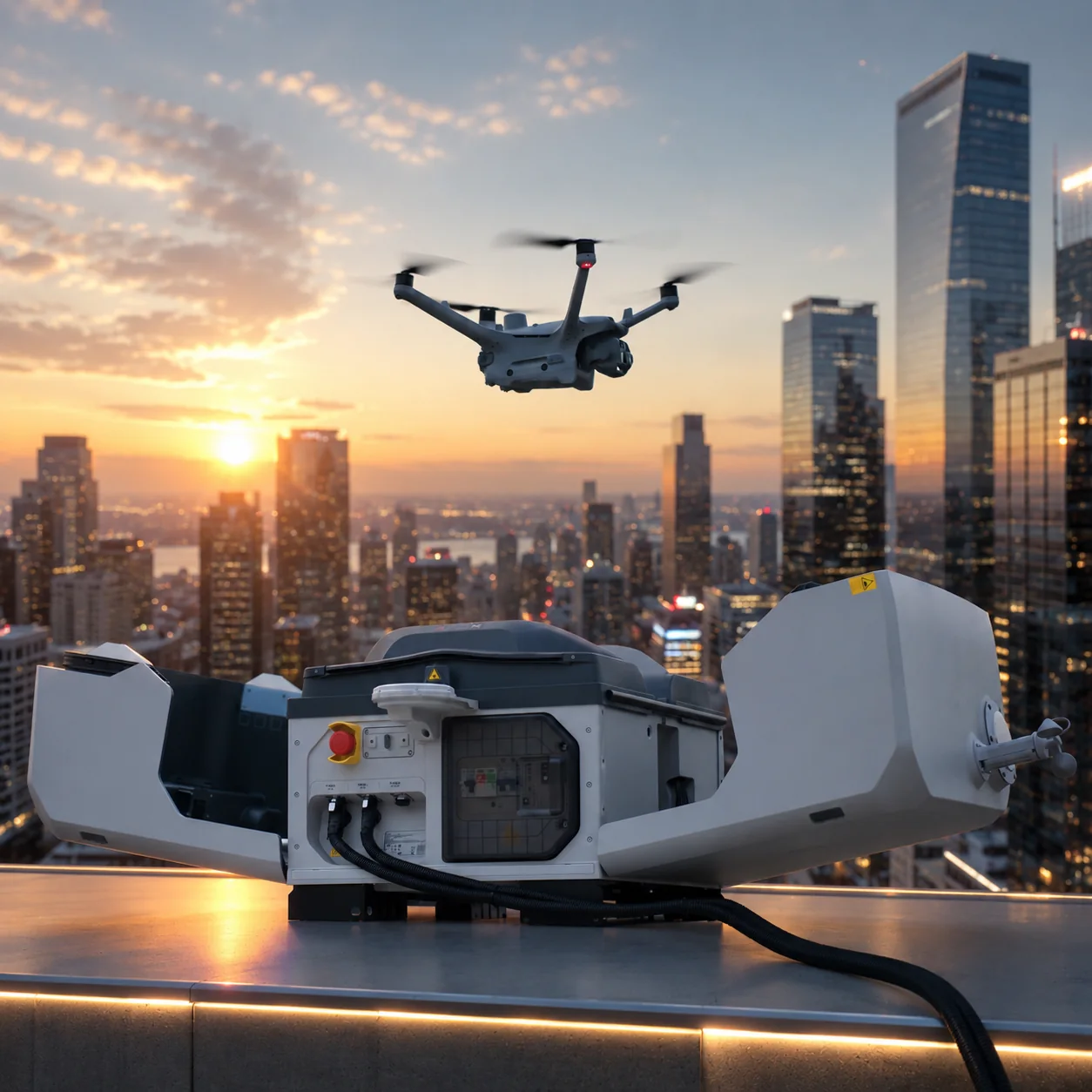
A public-safety drone can provide aerial context during an incident, help teams inspect areas that are difficult or hazardous to approach, and collect visible or thermal records for review. The value depends on getting the right information to the right team at the right time—not simply putting an aircraft in the air.
Define the primary mission, dispatch process, expected working distance, day or night conditions, sensor requirement, evidence handling, and local flight rules before choosing a platform.
Public safety and emergency workflows
Each mission needs a clear command role, operating procedure, data purpose, and escalation path.
Police and security
Support approved perimeter observation, incident context, route awareness, and remote visual checks while respecting privacy, evidence, and airspace requirements.
Fire and emergency response
Use visible and thermal perspectives to support situational awareness, resource coordination, and post-incident documentation under the incident command structure.
Search and rescue
Plan search areas, flight patterns, observation roles, communications, and verification procedures around terrain, weather, visibility, and target conditions.
Infrastructure incidents
Inspect inaccessible areas, utilities, facilities, roofs, corridors, and changing site conditions before sending personnel into higher-risk locations.
Thermal imaging operations
Use thermal data as one layer of evidence
Thermal cameras can extend awareness in suitable low-light, inspection, search, and incident conditions.
Thermal imagery does not automatically identify a person, defect, or hazard. Apparent temperature and contrast can change with distance, angle, emissivity, reflected energy, weather, obstructions, surface material, and camera settings.
Public-safety teams should define who interprets the thermal feed, how observations are verified, when ground teams are notified, and how images are retained. Pair thermal information with visible imagery, maps, incident reports, and direct confirmation.
Recommended DJI Enterprise platforms
These options serve different operating models; the correct choice depends on the mission and deployment environment.
Autonomous deployment
When a drone dock makes sense
An autonomous public-safety drone station is most useful when a defined area needs frequent coverage, faster remote availability, repeat routes, or reduced travel to a prepared site. DJI Dock 3 with Matrice 4TD can support visual and thermal remote operations when the complete system is commissioned correctly.
Evaluate coverage, launch clearance, power, network, GNSS visibility, weather exposure, physical security, dispatch procedure, remote oversight, privacy, maintenance access, and local authorization. Review the broader drone-in-a-box system planning guide before committing to a dock.
Project planning
Prepare the operating concept before requesting a quote
A useful quotation needs more than a product name and quantity.
- Mission and authorityDefine the incident types, approving authority, operator roles, command process, operating area, and aviation pathway.
- Sensor and evidenceSpecify visible, zoom, thermal, low-light, range, mapping, live-feed, recording, retention, and review requirements.
- Response time and coverageCompare a portable field aircraft with a fixed or vehicle-mounted dock based on dispatch time, geography, and mission frequency.
- Security and privacyPlan user permissions, network security, data storage, evidence control, privacy zones, and public transparency obligations.
- Support scopeConfirm hardware, software, accessories, freight, commissioning, training, spares, maintenance, and local responsibilities.
Buyer questions
Public safety drone FAQ
Capabilities and approval requirements must be confirmed for the exact country, agency, aircraft, and mission.
Which DJI Enterprise drone is suitable for public safety?
The right platform depends on response time, sensor needs, weather, payload, portability, working distance, and whether missions are controller-operated or dock-based. Matrice 4T, Matrice 400, and DJI Dock 3 with Matrice 4TD serve different workflows.
Can thermal drones support search and emergency response?
Thermal imaging can contribute to situational awareness in suitable conditions, but results depend on environment, distance, target, settings, trained interpretation, and the wider response procedure.
Can DJI Dock 3 support autonomous public-safety missions?
A commissioned DJI Dock 3 and Matrice 4TD system can support scheduled or approved on-demand remote missions when connectivity, routes, oversight, maintenance, privacy, and local aviation requirements are addressed.
Does AeroNest claim official DJI authorization?
No. AeroNest is an independent product supplier. DJI product names and trademarks belong to DJI, and final availability and regional compatibility must be confirmed in the quotation.
Discuss the mission
Talk to AeroNest about your public safety drone project
Send the country, organization type, mission, operating area, response-time target, sensor needs, preferred platform, quantity, and deployment timeline.